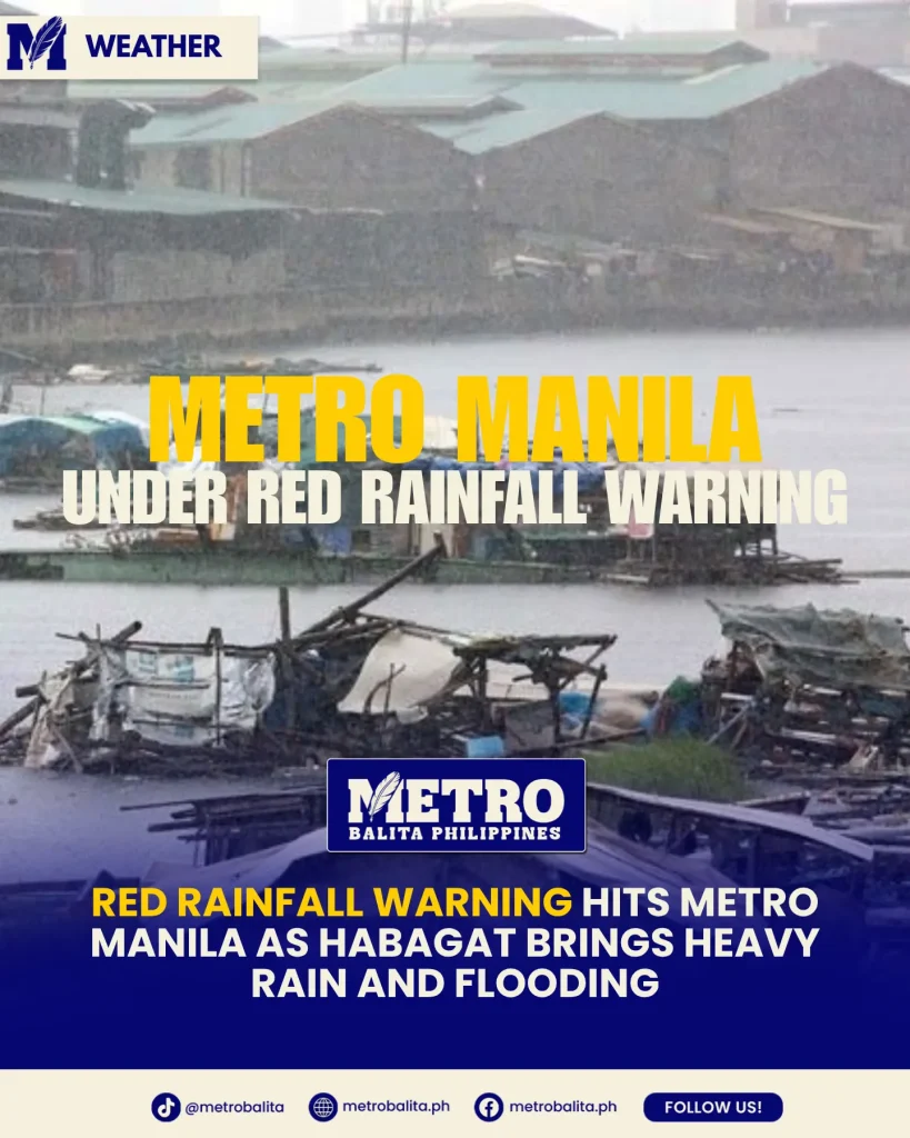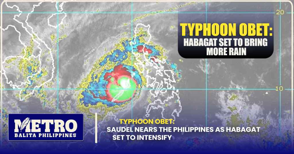
The Philippines is closely monitoring a powerful tropical cyclone that could soon enter the Philippine Area of Responsibility (PAR) and receive the local name Typhoon Obet. The weather disturbance, internationally known as Saudel, has strengthened while moving across the western Pacific and is expected to approach the country’s monitoring zone early next week.
According to the latest weather reports, Saudel was located east of the Philippines and was moving generally northwestward. Philippine forecasters are watching its movement because, even if it does not make direct landfall, the system could significantly enhance the southwest monsoon, or Habagat, bringing renewed rains to several parts of Luzon and other western sections of the country.
The possible arrival of Typhoon Obet comes as several areas are already experiencing monsoon-related rains. This means communities, local governments, motorists, farmers, fishermen, and commuters are being advised to remain alert as weather conditions could change over the coming days.
Typhoon Obet Could Enter PAR Next Week
The tropical cyclone currently being tracked as Saudel remains outside the Philippines’ monitoring area. PAGASA has indicated that it could enter the PAR between Sunday and Monday, although the exact timing remains subject to changes in its track and speed. Once it enters PAR, the system will be assigned the Philippine name Obet.
Recent reports placed Saudel thousands of kilometers east of the Philippines while it continued moving northwest. Its distance from the country means there is still considerable uncertainty regarding its eventual path.
Weather specialists have emphasized that the forecast can still change. Tropical cyclones can shift direction or speed as they interact with surrounding weather systems, which is why residents should avoid relying on a single forecast made several days ahead.
Why Typhoon Obet Is Being Closely Watched
The main concern surrounding Typhoon Obet is not necessarily a direct hit on the Philippine landmass. Instead, forecasters are monitoring its potential influence on the southwest monsoon.
PAGASA weather specialists have said Saudel could pull the Habagat toward the Philippines as it moves closer to the northern Philippine Sea. This interaction could result in another surge of monsoon activity beginning around Sunday and becoming more noticeable from Monday onward.
This is important because Habagat can produce widespread rainfall even when the tropical cyclone itself remains far from the country.
Typhoon Obet May Strengthen the Southwest Monsoon
The expected effect of Typhoon Obet could be felt through an intensified Habagat. The southwest monsoon is a seasonal wind pattern that frequently brings moisture from the surrounding seas toward the western portions of the Philippines.
When a strong tropical cyclone moves in a favorable position, it can help strengthen the flow of monsoon winds. As a result, areas far from the storm’s center can still experience prolonged periods of rain, cloudy skies, thunderstorms, and occasionally hazardous conditions.
PAGASA’s current regional forecast already shows cloudy skies, scattered rains, and thunderstorms in parts of Northern Luzon, with moderate to strong southwest winds and moderate to rough coastal conditions.
Areas That Could Experience More Rain
Forecast guidance indicates that Northern and Central Luzon could experience increased rainfall as the monsoon strengthens. Western sections of Luzon are particularly important to monitor because they are commonly affected by Habagat-driven weather.
PAGASA has reported rainfall affecting areas including parts of Pangasinan, La Union, Ilocos Sur, Abra, Apayao, Cagayan, Benguet, Kalinga, Mountain Province, Ifugao, and portions of Isabela.
The effects of Typhoon Obet could also extend beyond Northern Luzon depending on how strong the southwest monsoon becomes. Previous forecasts have indicated that a broad portion of Luzon and Western Visayas could experience increased rainfall from the renewed monsoon surge.
Typhoon Obet Is Not Expected to Make Direct Landfall
Despite the growing attention surrounding Typhoon Obet, current forecasts do not indicate that the system is expected to directly strike the Philippines.
This distinction is important. A tropical cyclone does not have to make landfall to influence Philippine weather. In this case, the storm’s position and circulation may be enough to strengthen the Habagat and transport additional moisture toward the country.
Forecasts remain subject to change, however, particularly because Saudel is still outside PAR. The eventual track will determine which areas receive the strongest effects and how long the monsoon surge lasts.
For this reason, residents should not interpret the current forecast as a final prediction. PAGASA bulletins and local government advisories should remain the primary references as the system gets closer.
What Residents Should Expect From Typhoon Obet
The arrival of Typhoon Obet could coincide with a renewed period of unsettled weather, particularly in western and northern portions of the country.
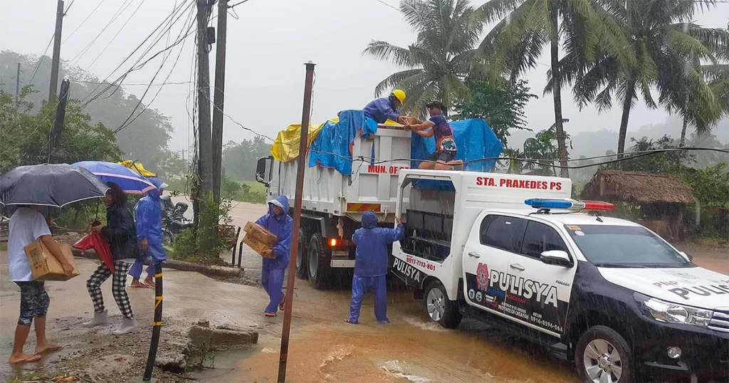
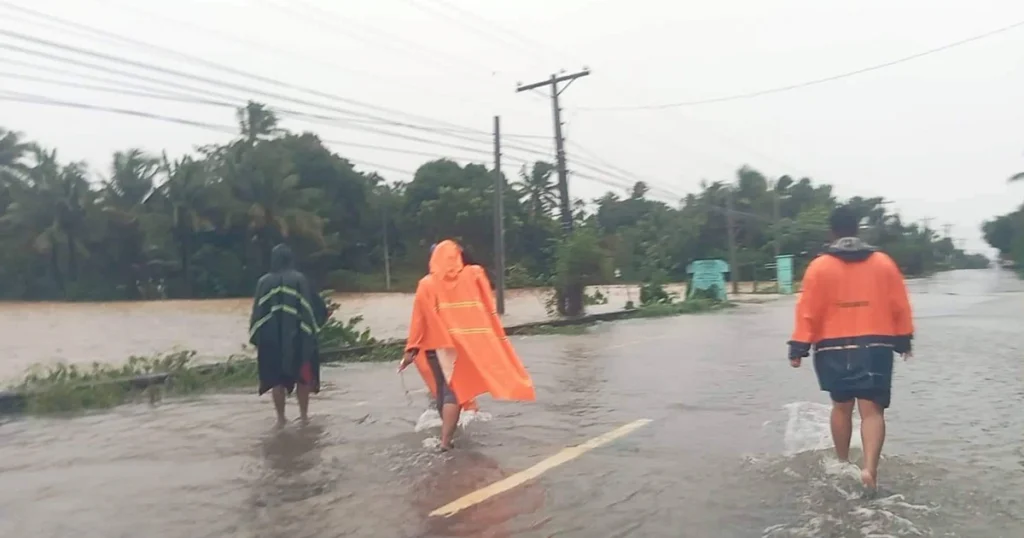
Residents in areas affected by the Habagat should prepare for periods of moderate to heavy rain, sudden thunderstorms, slippery roads, reduced visibility, and possible flooding in vulnerable locations.
Mountainous communities should also remain cautious because prolonged rainfall can increase the risk of landslides and mudslides. PAGASA has specifically advised communities in affected areas to take precautions against possible flash floods and landslides during periods of heavy rain.
Coastal Communities Also Need to Stay Alert
The possible impact of Typhoon Obet is not limited to land areas. Stronger southwest winds can also affect coastal waters.
PAGASA’s latest Northern Luzon forecast indicates moderate to strong winds and moderate to rough seas.
Fishermen and operators of small boats should therefore pay close attention to marine weather bulletins before heading out. Rougher seas can develop even when the center of a tropical cyclone remains hundreds or thousands of kilometers away.
Travelers should also be prepared for possible changes in sea conditions, particularly if the monsoon becomes stronger over the coming days.
Typhoon Obet Follows Other Recent Weather Systems
The possible entry of Typhoon Obet comes after the country dealt with other tropical weather systems this month.
PAGASA has been monitoring multiple disturbances and tropical cyclones outside and inside PAR, including systems that contributed to periods of rainfall across parts of the country. The agency has also continued monitoring low-pressure areas that could potentially develop further.
This sequence highlights why Philippine communities need to remain prepared throughout the country’s rainy and tropical cyclone seasons.
Even when one weather system weakens or moves away, another disturbance can develop over the western Pacific and approach the country.
PAGASA Continues to Monitor the Situation
Weather agencies are expected to continue updating the forecast as Saudel moves closer to the Philippine monitoring area.
The exact date when Typhoon Obet enters PAR will depend on its actual movement. Current reports have placed the potential entry around Sunday or Monday, while other assessments allow for a slightly wider timeframe.
Because the storm is still approaching from the Pacific, its forecast track could change. Residents should therefore avoid sharing unverified storm maps or social media posts that claim a specific landfall location before official agencies confirm it.
How the Public Can Prepare for Typhoon Obet
Even without an expected direct landfall, preparation remains important because the strongest effects could come from enhanced monsoon rainfall.
Households in flood-prone communities should monitor local advisories and be ready to move to safer areas if authorities issue evacuation orders. Important documents, medicines, emergency supplies, flashlights, batteries, drinking water, and basic food should be kept accessible.
Motorists should also exercise extra caution during heavy rain because flooded roads, poor visibility, and slippery surfaces can make travel dangerous.
Residents living near rivers, steep slopes, and other hazard-prone locations should pay particular attention to rainfall warnings from PAGASA and instructions from local disaster risk reduction offices.
Typhoon Obet Remains a Developing Weather Threat
For now, Typhoon Obet should be viewed as a developing weather threat rather than an indication of an imminent direct hit on the Philippines.
The more immediate concern is its potential to strengthen the Habagat and bring another round of widespread rainfall. Current forecasts point to increasing monsoon activity beginning around Sunday and Monday, although the extent and intensity of the rainfall will depend on Saudel’s eventual track and strength.
The situation is expected to evolve as the tropical cyclone moves closer. PAGASA will continue monitoring the system and issue updates if it enters the Philippine Area of Responsibility.
For Filipinos, the best approach is to stay informed without panicking. Typhoon Obet may remain offshore, but its potential influence on the southwest monsoon means that rain-related hazards could still affect millions of people.
As the system approaches, residents are encouraged to follow official PAGASA bulletins, local government announcements, and verified emergency advisories. Preparedness remains the safest response while forecasters work to determine the storm’s final track and possible effects on the country.
Metro Balita Ph continues to deliver essential weather information.